Placing a name
Have you ever wondered which are the common parts of place names and how they are distributed across the country? It is something fascinating to explore.
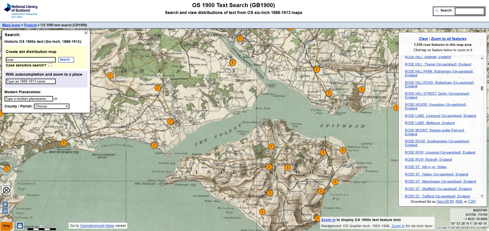
Type in a place name or part of a place name, like ham, ford or ton and see how that name is distributed across placenames on a map of Britain using this fascinating linguistic mapping tool released by the National Library of Scotland based on a dataset compiled by own own Geography Department, among others.


